Mountain biking
Haflin Creek
A half-day climb from the valley to Missionary Ridge through the burn scar of the 2002 fire. Steep, open, and a lot of elevation for the distance.
- Difficulty
- Expert
- Area
- Mid-country
- System
- Animas Valley
- Length
- 3.9 miles
- Climb
- 3,000 ft
Where it starts
The pin marks the trailhead. Map data © OpenStreetMap contributors.
Trail layout
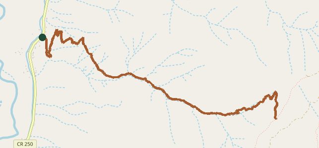
The line is the mapped path. A network may show more than one trail. Map data © OpenStreetMap contributors.