Mountain biking
Hermosa Creek
The main worn path through the Hermosa country, with several side junctions. South end: Highway 550 to Hermosa, then about 4 miles up Lower Hermosa Road after the tracks. North end: park at Purgatory and ride or shuttle Hermosa Park Road.
- Difficulty
- Advanced
- Area
- Mid-country
- System
- Hermosa Creek
- Length
- 19.1 miles
- Climb
- 2,330 ft
Where it starts
The pin marks the trailhead. Map data © OpenStreetMap contributors.
Trail layout
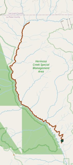
The line is the mapped path. A network may show more than one trail. Map data © OpenStreetMap contributors.