Neighborhoods
South Durango
The newer side of the city, beside the hospital and closer to the airport.
South Durango is where the city has actually added houses. Three Springs is the large planned neighborhood beside Mercy Regional Medical Center. A house on those streets is a different product from a house on Third Avenue, even when a listing search puts them in one list.
The airport is southeast of town, off Highway 172, so this side is the shorter airport drive and a worse walk to the depot. Errands here are the hospital and the south-side shops, not the Strater.
Three Springs
© Esri
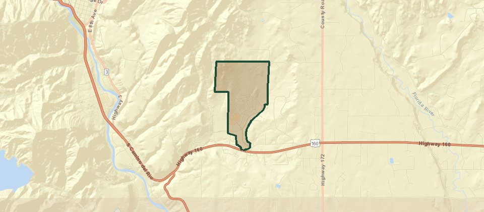
Three Springs covers 681 acres. About 300 of those acres are open space, parks, trails, wetlands, and school ground. The streets are around Mercado, and the Road Runner bus runs between the neighborhood and downtown. Homes include single-level houses, green-court homes, two-story houses, townhomes, and duplexes. Single-family houses are built with alley-loaded garages. Apartments include Confluence, next to Three Springs Plaza. People who want new construction and a sidewalk usually end up here. The map pin used for the neighborhood is 175 Mercado Street.
Mesa Ridge
Mesa Ridge is a smaller south-side house filing, including Petra Way, in the 81303 part of town. It is not the older Mesa Addition on the east side of the original grid, and it is not the trail system on Grandview Ridge.
Elevation Park
Elevation Park at Hope Springs is the Grandview neighborhood on the south side of Highway 160, across from Mercy Regional Medical Center. It is county ground for now, and the city may annex it later. Phase 1 is about 11 acres, with 37 single-family lots and 14 townhomes. Phase 2 is planned for a few more houses, 40 to 50 townhomes, and a 1-acre park. Streets include Treeline Street and Switchback Lane. Downtown is about 10 minutes. As of June 2026 the developer counted 30 single-family houses and 7 townhomes finished, with more under construction.
San Juan Vista Estates
© Esri
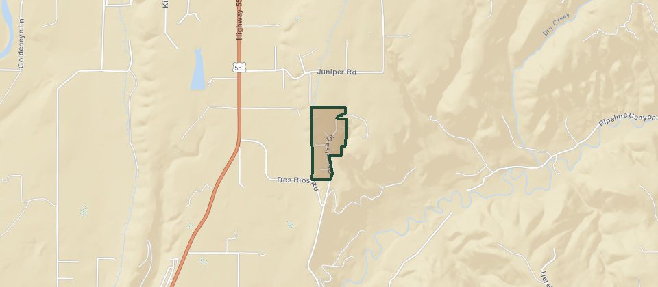
San Juan Vista Estates is south of town, set back from Highway 550, at about 6,630 feet. It was developed in the early 1990s on mostly level ground in piñon and juniper. Lots run about 2.75 to 5 acres, and many of them look at the La Plata Mountains. Roads are gravel and maintained by the association, which also plows. A brokerage guide put the 2026 dues at $500 a year. Water is a community well. Sewer is septic. Heat is propane. Electric is La Plata Electric. Downtown is a little over 20 minutes.
Juniper Heights
© Esri
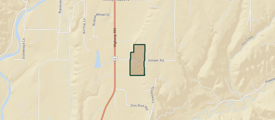
Juniper Heights is a small south-side plat. The streets are Juniper Road, Sage Road, Cedar Circle, and Gambel Circle, with the Florida Canal along one edge. That is the public map of it. Dues, water, and lot sizes are not written up the way the larger filings are, so take those from the association or the title work.
The Meadows
© Esri
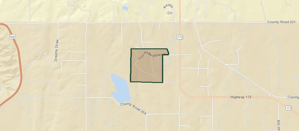
The Meadows is the subdivision on Florida Meadows Lane, including Unit 2. It is not Edgemont Meadows. Listings put it about 12 or 13 minutes from downtown, and closer than that to the hospital, the airport, and the south-side shops. The association plows and maintains the roads. At least some of the lots include irrigation water.
Mesa Verde Estates
Mesa Verde Estates is not a house filing. It is the assisted-living and memory-care building at Three Springs, on about 5 acres southwest of Mercy, near Wilson Gulch Drive and Ewing Mesa Road. The plan approved by the city is a two-story building of about 105,000 square feet, with 92 assisted-living units and 32 memory-care units, 124 in all. Staffing is around the clock. It sits next to the neighborhood, not in the same product as a house on Mercado.
Meadowood Farms
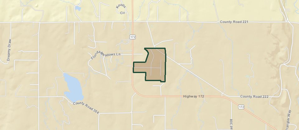
© Esri
Meadowood Farms is a small association neighborhood in the 81303 area. The recorded streets include Meadow Road, Clover Place, and Morning Glory Avenue. A state association directory counts 28 homes and lists the address as 2 Meadow Road. The directory does not publish dues or a management company.
River Valley Estates
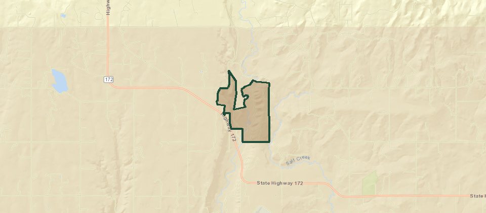
© Esri
River Valley Estates is a private gated community of about 500 acres on the Florida River, between downtown and the airport. The ground is grassland and river frontage, with wildlife corridors and trout water, and the elevation stays under 7,000 feet, which is the low-snow end of the county. It was planned as an equestrian community. The association is River Valley. Lots are acreage, and some of the river lots take in both banks.
Sundance Hills
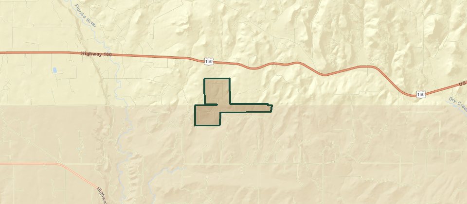
© Esri
Sundance Hills is a fairly flat neighborhood east of town, on the commute toward Bayfield, adjoining BLM. Houses, modulars, and mobiles share it. Elk, deer, and turkey use the open ground, and the La Plata Mountains are the view. Water is a well. Sewer is septic. Heat is bottled propane. There is no city water and no city plow.
El Rancho Florida
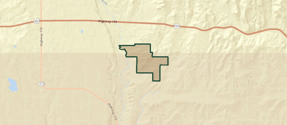
© Esri
El Rancho Florida is the Florida mesa filing. Older lists shorten it to El Rancho Fl, and a second filing is El Rancho Fl 2. The entrance crosses the Florida River on a bridge that was used in Butch Cassidy and the Sundance Kid. The pond is on the right just after that bridge. The association holds about 27 acres of common ground around the pond, with a picnic shelter. Lots are flatter than the hillside filings, with more trees than the open mesa, and the roads are gravel. The feel people describe is closer to Santa Fe than to the grid.
Adobe Cliffs
© Esri
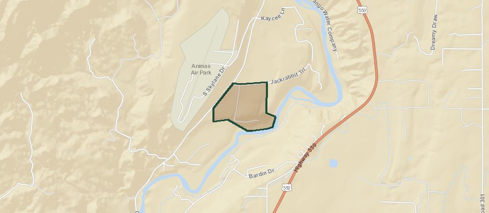
Adobe Cliffs sits off La Posta Road, south of the commercial strip, hidden enough that the drives are posted private. The Animas runs through much of it, with sage, piñon, and cottonwoods on the bank. Lots are large. The fishing is the reason a lot of people buy here. Walmart and the south-side shops are about five minutes north.
Loma Linda Acres
© Esri
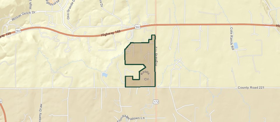
Loma Linda Acres is a recorded name on the south side of Durango. It does not have a public association site or a brokerage write-up with lot counts, dues, or utilities. Treat a listing's claims about those as unchecked until the title company or the association confirms them.
The Knolls
© Esri
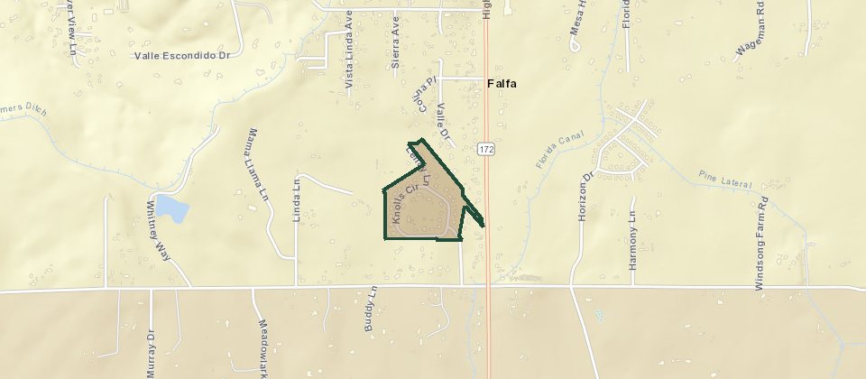
The Knolls is on Knolls Circle in the 81303 area, under 10 minutes from Mercy and about 15 from downtown. The association is The Knolls HOA. Lots are around a half acre. Irrigation water has been included with houses there. Schools on the listings are Florida Mesa, Escalante, and Durango High.
Three Springs is inside the city, so water, sewer, and the plow are municipal. Grandview Ridge, farther south, is the trail country above the highway, not a subdivision on this page.