High Country Trails
Cunningham Gulch
Cunningham Gulch (FS#502) Leaving the start of the trail behind, the first half mile of the route rises through 700 feet of stunted high-alpine growth as the trail clambers towards treeline.
Meeting with the Highland Mary Lakes connector, one last switchback brings you into the final patch of trees before a rolling tundra unveils unhindered mountain views off to the west, including Mount Rhonda, Kendall Peak, and Little Giant Peak.
- Length
- 1.8 Miles
- Climb
- 1350 Feet
- Difficulty
- Advanced
- From Durango
- 57 Miles
Getting there
Cunningham Gulch / Highland Mary Lakes Parking Area. Begin at Main Avenue and 9th Street, then go west on 9th Street, toward Camino Del Rio (Highway 550). Make a right onto Camino Del Rio (HWY 550) and continue north on Hwy 550 past Purgatory Resort toward Silverton. Continue through Silverton to CR 2 and follow to CR 4. The Cunningham Gulch road starts in Howardsville. Turn east on County Road 4 and follow the signs to the Old Hundred Mine tour by bearing left on County Road 4-A at its junction with County Road 4.
Where it starts
The pin marks the trailhead. Map data © OpenStreetMap contributors.
Trail layout
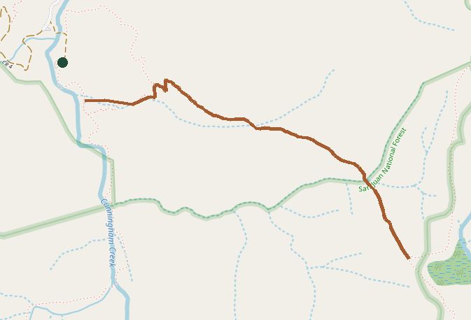
The line is the mapped path. Map data © OpenStreetMap contributors.