High Country Trails
West Lime Creek
- Length
- 2.5 Miles
- Climb
- 1100 Feet
- Difficulty
- Advanced
- From Durango
- 34 Miles
Getting there
Coal Bank Pass / Engineer Mountain Trail Parking. Begin at Main Avenue and 9th Street, then go west on 9th Street, toward Camino Del Rio (Highway 550). Make a right onto Camino Del Rio (HWY 550) and continue north on Hwy 550 past Purgatory Resort toward Silverton. This access point is found some 39 miles north of Durango on U.S. 550. The trailhead is about 1 mile north from the low point between Coal Bank Pass and Molas Pass, on the big, sweeping hairpin turn. Parking is on the east side of the road in the large turnout south of the trailhead. To reach the trailhead, one must cross the highway and walk roughly 40 yards up the road. The trailhead leads off on the north side of the creek.
Where it starts
The pin marks the trailhead. Map data © OpenStreetMap contributors.
Trail layout
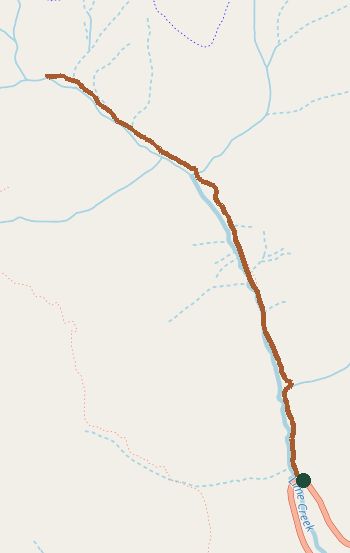
The line is the mapped path. Map data © OpenStreetMap contributors.