Neighborhoods
East Durango
The mesa above downtown, then Florida Road and Edgemont.
East of the grid the streets climb onto the Fort Lewis mesa. Skyridge and Hillcrest are the neighborhoods most people mean. The view is back across the valley, Horse Gulch is the trail system on this side, and Main is a few minutes down the hill. Fort Lewis College and the schools sit up here too.
Past the mesa, Florida Road and County Road 234 leave the city. Edgemont is the paved, district-served part of that country. Farther out, a lot of the parcels are on a well and a septic system, and the driveway is yours to plow.
Skyridge
© Esri
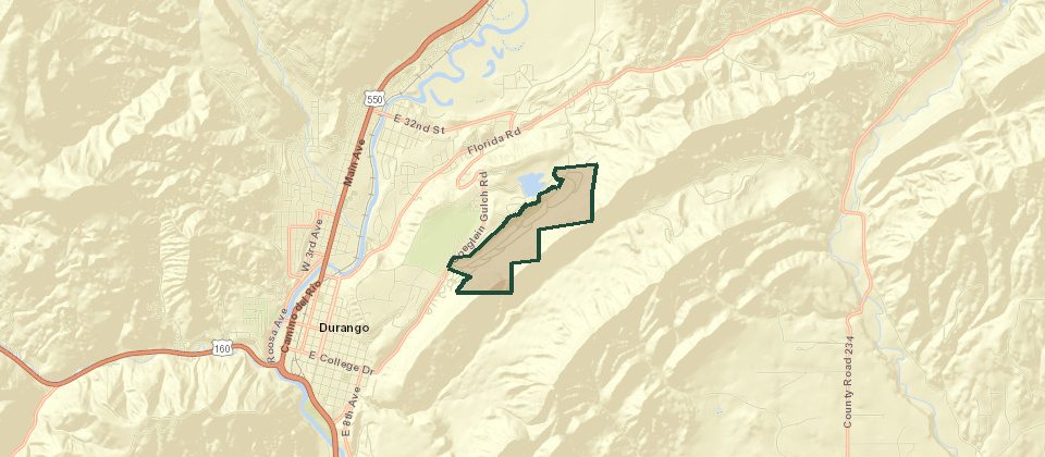
Skyridge is the large residential area on the east mesa, on streets such as Ophir Drive. Houses, townhomes, and a later estates filing share the name. Trails tie into Horse Gulch and Raider Ridge.
Hillcrest
© Esri
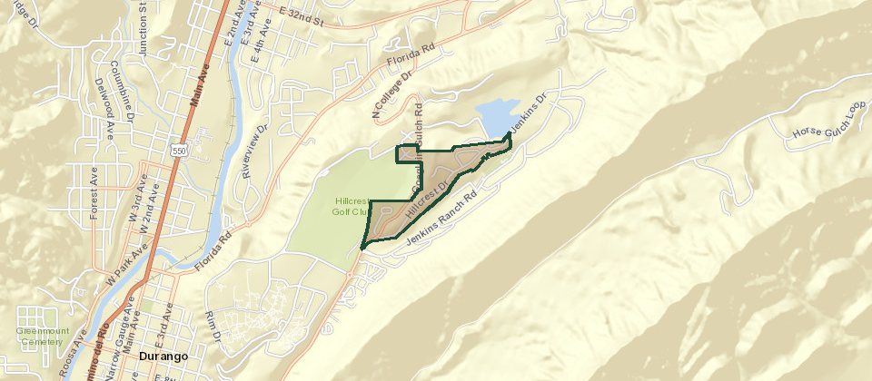
Hillcrest sits beside Hillcrest Golf Course, on Hillcrest Drive. Houses and townhomes are a few minutes above downtown and close to the schools on this side of town.
Edgemont Ranch
© Esri
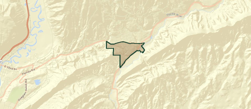
Edgemont Ranch is the older core, northeast of town on County Road 234, with streets such as Antero. The Edgemont Ranch Metropolitan District is based at 5972 County Road 234 and also serves the Highlands and the Meadows. The district runs its own water plant and wastewater plant and plows the roads. The published phone is 970-259-3102.
Edgemont Highlands
© Esri
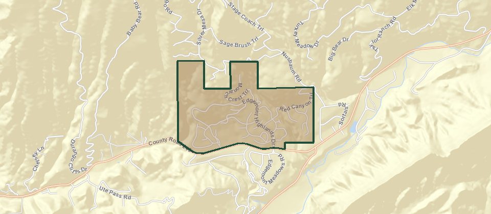
Edgemont Highlands is ponderosa and Gambel oak, with nearly 200 acres of open space, trails, and about a mile and a quarter of the Florida River that residents can fish. Roads are paved. Electric, cable, and natural gas are underground to the property line. The community association handles the lodge, landscape, and design review. Water, sewer, and the roads belong to the metro district, not the association. Four groups of lots keep their own stricter rules: Copperhead Camp, Elements, Canyon Pines, and The Grove.
Edgemont Meadows
Edgemont Meadows is the newer section, on streets such as Silver Queen. It is on the same district water, sewer, and plowed roads as the Ranch and the Highlands. On a house, the owner maintains the water line from the meter to the building, and the sewer line from the house to the collector in the street. This is not The Meadows on Florida Meadows Lane. That filing is on the south page.
Ute Pass Ranch
© Esri
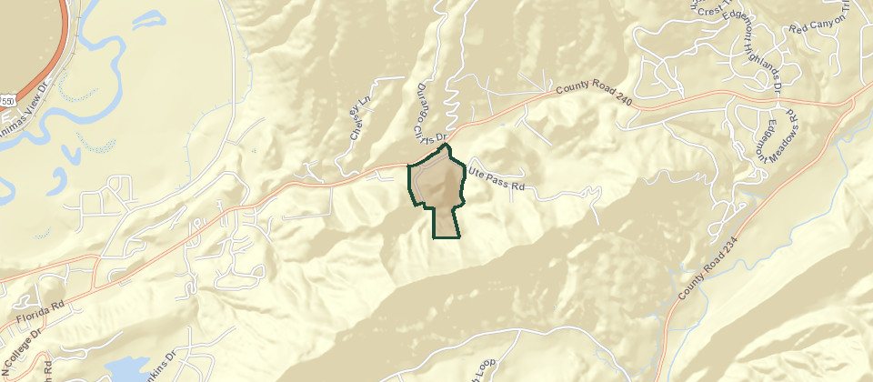
Ute Pass Ranch is the name on the listings. Lots run from about a fifth of an acre up to about 35 acres, so a house on the small end and a house on the large end are not the same product. Water is the Ute Pass Water Association. Sewer is the City of Durango. Gas is Atmos. Electric is La Plata Electric. The association maintains the roads and plows them. Livestock is allowed on the larger lots. Downtown is about 11 minutes.
Chelsey Acres
© Esri
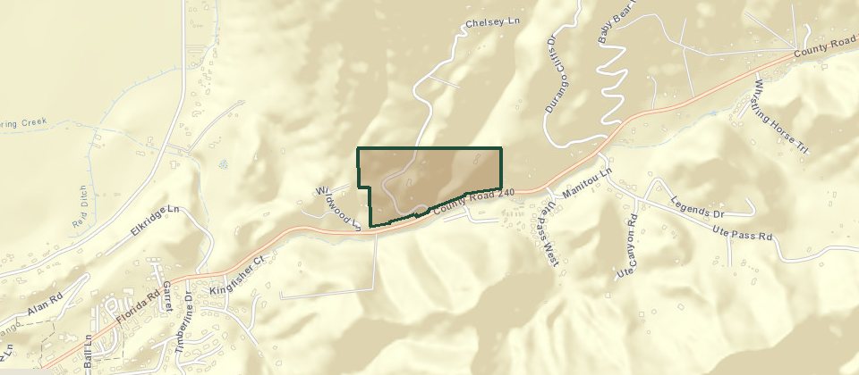
Chelsey Acres is the spelling that shows up on the local neighborhood maps. Chelsea Acres is the same filing. It sits on the Florida Road side of town. Public write-ups of the plat are thin, so dues, lot sizes, and water should be confirmed from the association before anyone treats a listing sheet as the rule.
Durango Hills
© Esri
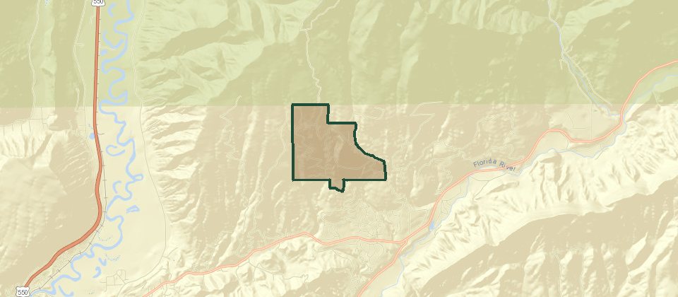
Durango Hills started in the 1970s, on roads such as Stagecoach Trail. The ground is ponderosa, spruce, and aspen. Most lots are at least 3 acres, and the ones farther up the hill are the ones with the view. National forest is the back edge. Houses from that era and later houses share the same roads.
Florida River Estates
Florida River Estates is two sections from the early 1970s. The lower one sits on Florida Road, with the Florida River through it, large deciduous trees, and two stocked ponds. Owners have a fishing easement on the river even where it runs behind someone else's lot. The upper section is the pine hillside above that. County roads serve both, and the upper roads get hard in winter. Some lots allow horses. Water is a community well. Sewer is septic. A brokerage guide has put the association dues at $158 a month, tied to the fishing right. Confirm the current number.
Los Ranchitos
© Esri
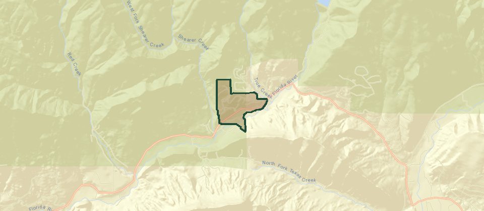
Los Ranchitos is about 15 minutes out Florida Road, on the way toward Lemon Reservoir. The association maintains the roads inside the subdivision. The ground rolls, and some lots back to national forest or BLM. The Florida River runs along the south side. Water is a central system. Sewer is septic. Heat is bottled gas. From the entrance it looks smaller than it is. A lot of the houses sit back where you cannot see them from the road.
Aspen Trails
© Esri
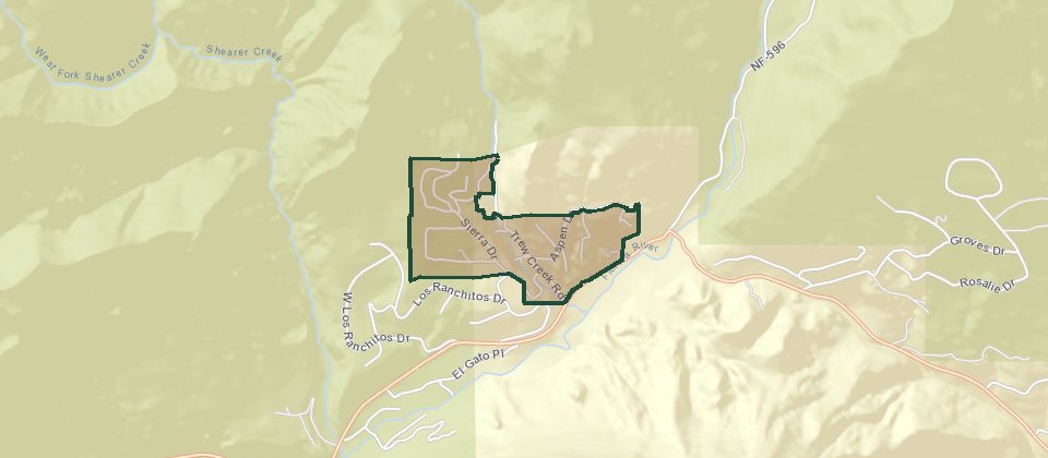
Aspen Trails is a little over 12 miles from downtown, in aspen and spruce, with a small creek through the project. It is close to Lemon Reservoir and on the way toward Vallecito. Roads and lots are steep. The houses are a mix of A-frames, modulars, cabins, and mountain houses, and not all of them are lived in year-round. Winter on those roads is the limiting thing. Elk, bear, and deer are routine.
The Cliffs of Durango
© Esri
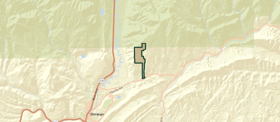
The Cliffs of Durango is the gated community above the valley, in off Florida Road. Lots are about 32 to 35 acres, up around 7,600 feet, and some of the building sites sit close to 1,000 feet above the valley floor. The climb in is paved. Driveways off that road are long. The trees on top are ponderosa and aspen. Water is a well. Sewer is septic. Heat is propane. The association plows. There is a private trail system that connects into the national forest. Downtown is about 14 minutes when the road is clear.
Spring Creek Village
Spring Creek Village is about three miles east of town off Florida Road, just past the city line. The project is about 38 acres and 24 lots, most of them under an acre, approved in 2016 and built in two phases. Because it is county ground with city water and sewer, residents get those utilities without a metro-district tax. The plan includes trails, a playground, a park, and a dog-walking area.
Sweetwater Springs
© Esri
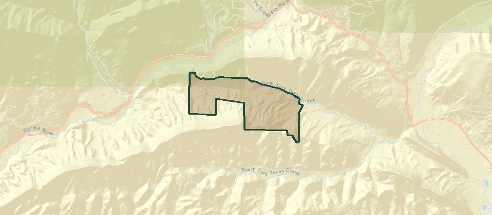
Sweetwater Springs is the spelling on the local lists. It is northeast of town on Florida Road, about 15 minutes out, with large lots meant for houses and horses. The ground mixes meadow, rolling hills, and tall pines. Lemon Reservoir is a short drive farther, and Vallecito is about halfway from here. Privacy is the point of the lot size.
Tween Lakes
© Esri
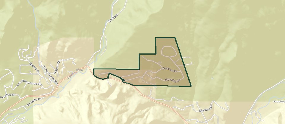
This Tween Lakes is the timbered filing between Lemon Reservoir and Vallecito Reservoir, not a Dalton Ranch street. Lots climb the hillside. The roads are steep and winding, and a lot of the houses are used in summer because winter wants four-wheel drive. Each lot is on its own well, septic, and propane. Wildlife is part of the setting.
Inside the city, on the mesa, you are on municipal water and sewer and the city plows the street. Edgemont is outside the city and still has central water, sewer, and a plow, because the metro district does that work. A county parcel past the district is a different inspection and a different winter.