Neighborhoods
In Town Durango
The city itself: the old grid, the mesa above it, and the neighborhoods that are still on city streets.
In town is the ground inside the city, or close enough that the city is the water, the sewer, and the plow. The grid and SoCo are the walk-to-dinner end. Animas City is North Main. The mesa above College is Hillcrest, Skyridge, and the smaller filings next to the golf course. West of the river are Crestview, Ella Vita, Falcon Way, and the West Avenues.
Three Springs is the new neighborhood on the south side, beside Mercy. It is a different product from a house on Third Avenue, even when a search lists them together. Twin Buttes is inside the city limits too, about two miles southwest.
Three Springs
© Esri
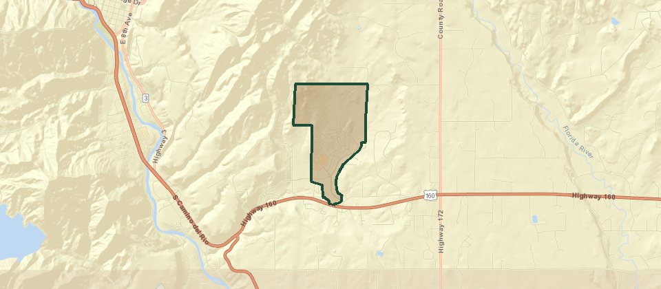
Three Springs covers 681 acres beside Mercy Regional Medical Center. About 300 of those acres are open space, parks, trails, wetlands, and school ground. The streets are around Mercado, and the Road Runner bus runs between the neighborhood and downtown. Homes include single-level houses, green-court homes, two-story houses, townhomes, and duplexes. Single-family houses are built with alley-loaded garages. Apartments include Confluence, next to Three Springs Plaza. The map pin used for the neighborhood is 175 Mercado Street. People who want new construction and a sidewalk usually end up here.
Hillcrest
© Esri
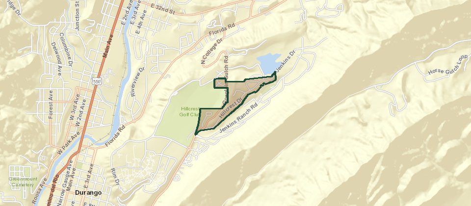
Hillcrest is the neighborhood beside Hillcrest Golf Course on the east mesa, on Hillcrest Drive. Houses sit on larger lots than the grid, many of them built in the 2000s, and a number of them look at the La Platas. The course is across the street from much of it. Chapman Hill, the ice rink and the ski hill, is next to the club. Downtown is a short drive down the hill. There is no association on the older Hillcrest houses.
Hillcrest Greens
© Esri
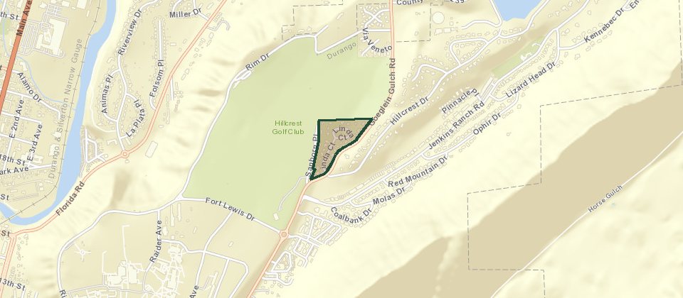
Hillcrest Greens is the golf-course pocket next to Hillcrest. Linda Court is the main road, and it loops back on itself with a playground in the middle. Houses on the north side look at the course, and past that at the San Juans. It is about as close as in-town Durango gets to living on a green, and the mesa roads reach the rest of town quickly. The Rim and the trail systems on this side are a short ride.
Skyridge
© Esri
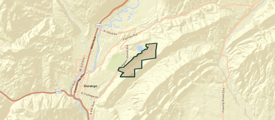
Skyridge is the large residential area on the east mesa, above downtown and near Fort Lewis, on streets such as Ophir Drive. Houses, townhomes, and a later estates filing share the name. Parks and a tennis court sit in the neighborhood. Horse Gulch and Raider Ridge are the trails on this side, and the hill down to Main is a few minutes.
Farview Estates
© Esri
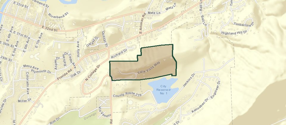
Farview Estates is on the mesa, on Via Vista Circle and Via Oeste, with the Pioneer Ditch along the edge. Neighborhood tours call the gated houses with the long views Animas Farview. Those lots sit above town rather than on the grid, and the view is the reason for the drive up.
Cedar Ridge Estates
© Esri
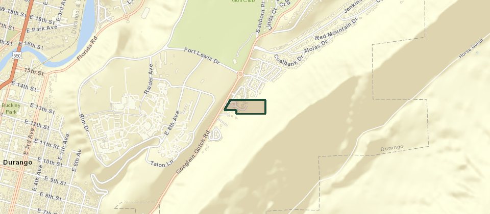
Cedar Ridge Estates is in town off College Drive. The turn is Cedar Ridge Way. Fort Lewis and Hillcrest Golf Course are close. The association is Cedar Ridge. City water, sewer, and gas are available to the lots. Part of the filing is still unfinished ground, planned as duplexes and one single-family lot, a short walk from downtown.
Tierra Vista Village
© Esri
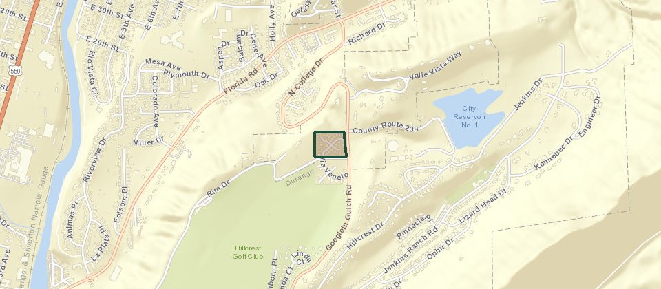
Tierra Vista Village is the plat. Some people call it Tierra Vista Estates. It is stand-alone townhomes on small lots, next to Hillcrest Golf Club, the Rim Trail, and Lion's Den. The houses are the lock-and-leave kind, on city water and sewer. A recent listing put the association dues at $540 a quarter. Confirm that number with the association.
Crestview
© Esri
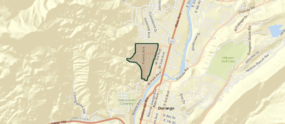
Crestview is the hillside addition above the west side of downtown, on Crestview Drive and Leyden. The lots step up off the grid, so many of the houses look back over the valley. Main Avenue is a short drive down the hill. Overend Mountain Park is the trail system on this side. It is inside the city.
Animas City
© Esri
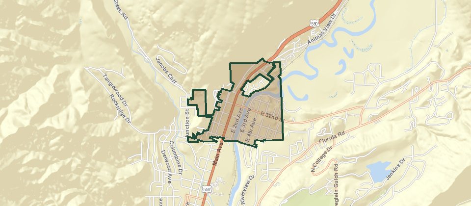
Animas City was the town already here when the railroad laid Durango out to the south. It runs along North Main, with older houses, mid-century blocks, and newer infill, and it was later taken into the city. Yards are larger than on the grid. Riverview Elementary and the river trail are close. The North Durango plat, the Fassbinder Addition, Thompson's Addition, Easter Heights, Highland Park, and Animas Heights are pieces of these same north-side streets, not separate towns.
The Grid
The grid is the railroad plat, the blocks around Main Avenue. Brick storefronts face the avenue. Houses sit on the numbered streets a block or two off it. The depot anchors the south end of the commercial row. You can walk to dinner. The city plows these streets first. New houses barely get added. The historic district adds a rule: a new roof, a porch, or a window can need review. A few assessor names are pieces of this same grid: Mountain View on the east side around East 6th and East 7th, Parkside Terrace on East 6th, Brookside along West 2nd, and the Clovis Addition on Columbine Drive.
SoCo
SoCo is south of College Drive, the residential pocket at the south edge of downtown. It is still the grid, just past the college intersection, with the river trail close enough to use as the way out of the neighborhood. A house here is an old-town house, not a south-side subdivision.
Ella Vita
© Esri
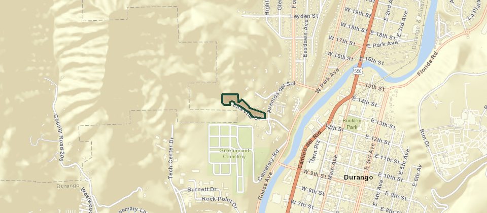
Ella Vita is the small subdivision on Ella Vita Court, west of downtown. From 9th Street, cross the river, turn right on Roosa Avenue, then left on Avenida Del Sol and up the hill. The cul-de-sac is a trailhead for Overend Mountain Park. The Ella Vita trail climbs from there into Brown's Ridge. The houses are newer than the grid, and the river is a short walk down the hill.
Falcon Way
© Esri
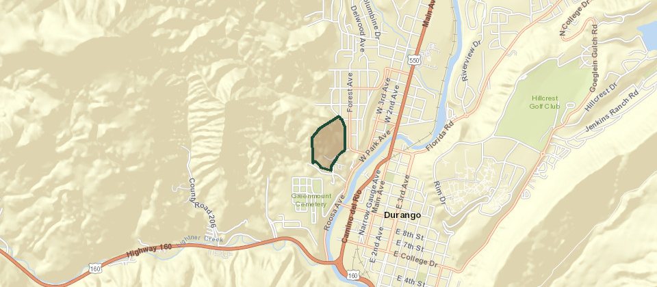
Falcon Way is the street of houses perched above downtown. The association on the listings is Falcon Heights. Lots run around two-thirds of an acre to a little under an acre, which is a lot of ground for in town, and the view is the city, the river, and the ridges. Downtown is a few minutes down the hill.
West Avenues
The West Avenues are just west of downtown, across the Animas and Highway 550. There is no association and no covenants, so fences are allowed and the streets still read as a kept neighborhood. Sidewalks run through it. The back edge is the Ned Overend bike park, and the Animas River Trail connects from here. Downtown shops are about two minutes. Water and sewer are city. Gas is Atmos. Electric is La Plata Electric. Yards are big enough for chickens and not for horses. The train passes nearby, and some houses hear Highway 550.
Riverview
© Esri
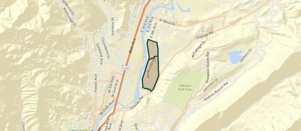
Riverview Heights and Riverview Park are the river plats on Riverview Drive, inside the city, next to Animas City. The lots face the Animas rather than Main Avenue. They are larger than a grid lot, and the river trail is close.
Twin Buttes
© Esri
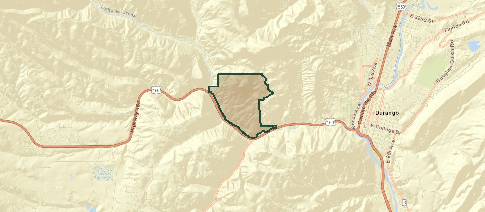
Twin Buttes is a master-planned neighborhood inside the city limits, about two miles from downtown on the southwest side, off Highway 160. The owners donated the buttes and much of the trail network to the city. What is on the ground now is the houses, a farm, Historic Tram City Park, and the trails. Water, sewer, paved roads, sidewalks, and trash are city services. The farm stand is at 165 Tipple Avenue, open in person from mid-June into early October. About 14 miles of trail run above and through the neighborhood. The upper trails close from December 1 through April 15 for wildlife. Lightner Creek runs through the ground.
City water and sewer cover the grid, Animas City, the mesa, Crestview, the West Avenues, and Twin Buttes. Rockridge, on Perins Vista Drive between Perins Peak and Animas City Mountain, is the same kind of place: larger lots than the grid, still on city water and sewer, and still in town rather than out on the highway.