Things to do
Hiking
These are the hikes Durango Trails lists, from in-town loops to the high country. Length and climb sit under each tile. Hover for what the trail is. Open it for the map.
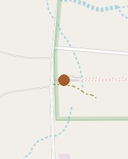 Alien Run Trail SystemAlien Run Trail SystemThree stacked loops near the state line, with easier and harder options in the same ride-and-hike system.16 miles · 637 ft
Three stacked loops near the state line, with easier and harder options in the same ride-and-hike system.
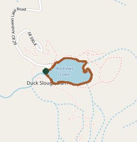 Andrews LakeAndrews LakeAn easy loop around Andrews Lake, just past Molas Lake. In winter it is a ski and snowshoe circuit.0.8 miles · Elevation gain isn't listed
An easy loop around Andrews Lake, just past Molas Lake. In winter it is a ski and snowshoe circuit.
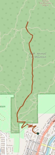 Animas Mountain Trail SystemAnimas Mountain Trail SystemThe in-town summit just north of downtown. The main loop is a lollipop with the high point about halfway. The upper loop closes for wildlife from December 1 to April 15.5 miles · 1428 ft
The in-town summit just north of downtown. The main loop is a lollipop with the high point about halfway. The upper loop closes for wildlife from December 1 to April 15.
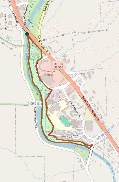 Animas River TrailAnimas River TrailThe paved path along the river through town. Flat enough for any pace, and you can join it from almost anywhere in Durango.7.1 miles · 337 ft
The paved path along the river through town. Flat enough for any pace, and you can join it from almost anywhere in Durango.
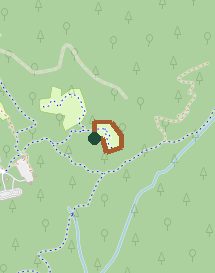 Aspen Loop TrailAspen Loop TrailA long doubletrack loop with steep pitches and rocky sections. Hikeable, though most people ride pieces of it rather than the whole 39 miles.39 miles · 4363 ft
A long doubletrack loop with steep pitches and rocky sections. Hikeable, though most people ride pieces of it rather than the whole 39 miles.
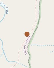 Blackhawk PassBlackhawk PassSingletrack near Rico, walked in either direction. Durango Trails rates it advanced.9.1 miles · 1150 ft
Singletrack near Rico, walked in either direction. Durango Trails rates it advanced.
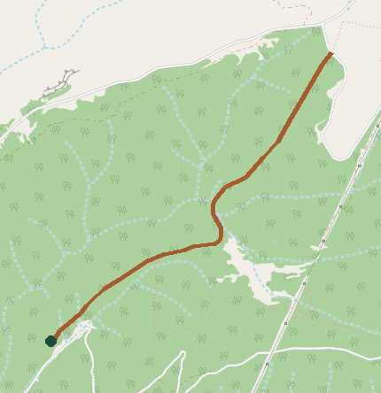 Boggy Draw Trail SystemBoggy Draw Trail SystemA big network west of Dolores. The Boggy trailhead is the start of several loops, from easy to intermediate.62 miles · 775 ft
A big network west of Dolores. The Boggy trailhead is the start of several loops, from easy to intermediate.
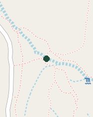 Church Camp Trail SystemChurch Camp Trail SystemGentler trails on the edge of town, the easier alternative to the steeper in-town systems.5 miles · About 200 to 340 feet, depending on the trail
Gentler trails on the edge of town, the easier alternative to the steeper in-town systems.
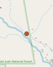 Colorado Trail System (High Country)Colorado Trail System (High Country)The high-country end of the Colorado Trail in the San Juans. The mileage on the Durango Trails page is the full Denver-to-Durango route, not a day hike.500 miles for the full Denver-to-Durango trail · 89,354 ft for the full trail
The high-country end of the Colorado Trail in the San Juans. The mileage on the Durango Trails page is the full Denver-to-Durango route, not a day hike.
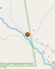 Colorado Trail System (Lower)Colorado Trail System (Lower)The Durango end of the Colorado Trail, from the Junction Creek trailhead. This is the local piece, not the whole trail to Denver.4 miles · 1015 ft
The Durango end of the Colorado Trail, from the Junction Creek trailhead. This is the local piece, not the whole trail to Denver.
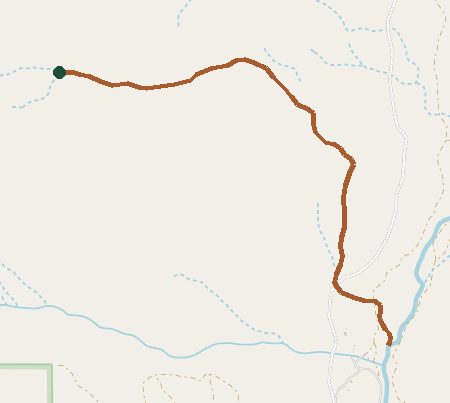 Cutthroat TrailCutthroat TrailA 5.5-mile trail above the East Fork of Hermosa Creek, starting where Relay Creek meets Cascade Divide Road.5.5 miles · Elevation gain isn't listed
A 5.5-mile trail above the East Fork of Hermosa Creek, starting where Relay Creek meets Cascade Divide Road.
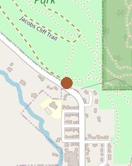 Dalla Mountain Park Trail SystemDalla Mountain Park Trail SystemA small park above town used by hikers, climbers, and bikes. The trails are short, with modest climbing.5 miles · 314 ft
A small park above town used by hikers, climbers, and bikes. The trails are short, with modest climbing.
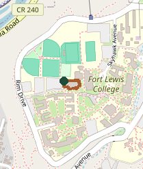 Fort Lewis Trail SystemFort Lewis Trail SystemTrails on the Fort Lewis College mesa, with short options for different ages and fitness. The Skyline and Lion's Den are the names locals use.About 13 miles if you add up the trails that list a distance · Climbs run from about 100 to 1,050 feet
Trails on the Fort Lewis College mesa, with short options for different ages and fitness. The Skyline and Lion's Den are the names locals use.
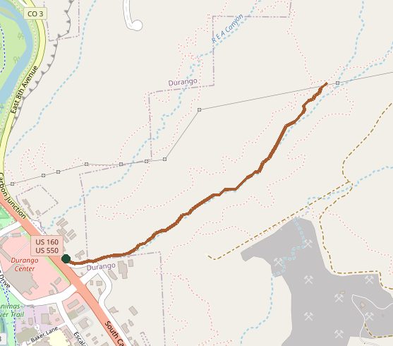 Grandview Ridge Trail SystemGrandview Ridge Trail SystemSouth of town and tied into Horse Gulch. Big Canyon is the usual way in off Highway 160.About 25 miles across the trails that list a distance · Most climbs fall between 260 and 700 feet
South of town and tied into Horse Gulch. Big Canyon is the usual way in off Highway 160.
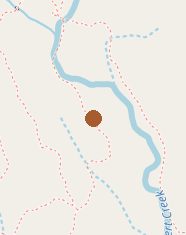 Haviland Lake TrailsHaviland Lake TrailsA 9-mile network between Elbert Creek and Highway 550, linking Haviland Lake and Chris Park. Hikers, horses, bikes, and snowshoers share it all year.9 miles · 554 ft
A 9-mile network between Elbert Creek and Highway 550, linking Haviland Lake and Chris Park. Hikers, horses, bikes, and snowshoers share it all year.
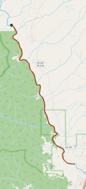 Hermosa Area Trail SystemHermosa Area Trail SystemThe long Hermosa Creek country: Jones Creek, Pinkerton, upper Hermosa, Bolam Pass, and Hotel Draw. This is a system, not one loop.105 miles · Climbs run from about 1,700 to 4,000 feet
The long Hermosa Creek country: Jones Creek, Pinkerton, upper Hermosa, Bolam Pass, and Hotel Draw. This is a system, not one loop.
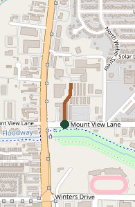 High Country TrailsHigh Country TrailsA catch-all page for the high trails outside town, the kind of mileage you pick apart into day hikes rather than walk in one go.65 miles · Climbs run from about 540 to 3,600 feet
A catch-all page for the high trails outside town, the kind of mileage you pick apart into day hikes rather than walk in one go.
 Horse Gulch Trail SystemHorse Gulch Trail SystemThe in-town classic east of downtown. Hikers and mountain bikes share a web of loops a few minutes from Main Avenue.About 27 miles of trail in the system · Climbs run from about 60 to 1,670 feet
The in-town classic east of downtown. Hikers and mountain bikes share a web of loops a few minutes from Main Avenue.
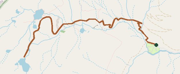 Ice Lakes TrailIce Lakes TrailThe basin above South Mineral Creek, west of Silverton. Durango Trails still marks the trail closed after the 2020 fire. Check with the Forest Service before you go.7 miles · 2430 ft
The basin above South Mineral Creek, west of Silverton. Durango Trails still marks the trail closed after the 2020 fire. Check with the Forest Service before you go.
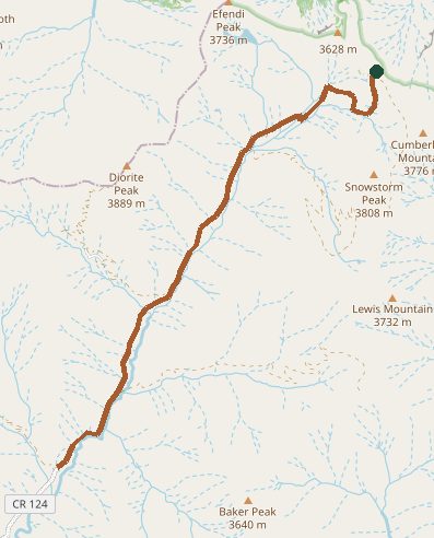 La Plata Canyon Trail SystemLa Plata Canyon Trail SystemMid-country trails up La Plata Canyon, west of town, including the steep routes toward Kennebec Pass.32 miles · About 2,800 feet of climbing
Mid-country trails up La Plata Canyon, west of town, including the steep routes toward Kennebec Pass.
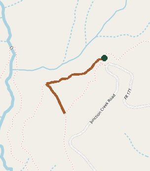 Log Chutes Trail SystemLog Chutes Trail SystemA multi-use system just above the Colorado Trail trailhead at Junction Creek.About 19 miles across the six trails · Climbs run from about 660 to 1,600 feet
A multi-use system just above the Colorado Trail trailhead at Junction Creek.
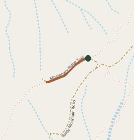 Missionary Ridge Trail SystemMissionary Ridge Trail SystemA quieter ridge east of town. Durango Trails calls it moderate to expert, and a lot of locals still have not walked it.28 miles · Climbs run from about 1,650 to 3,560 feet
A quieter ridge east of town. Durango Trails calls it moderate to expert, and a lot of locals still have not walked it.
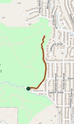 Overend Mountain Park Trail SystemOverend Mountain Park Trail SystemAbout 300 acres on the west side of town. Close enough for an after-work hike, with several named trails inside the park.About 12 miles of trail in the park · Climbs run from about 90 to 690 feet
About 300 acres on the west side of town. Close enough for an after-work hike, with several named trails inside the park.
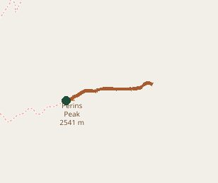 Perins Peak TrailPerins Peak TrailA long, steep day hike to Perins Peak on the west side. One of the harder in-town summits, and parts of the wildlife area close seasonally.6.7 miles · 1750 ft
A long, steep day hike to Perins Peak on the west side. One of the harder in-town summits, and parts of the wildlife area close seasonally.
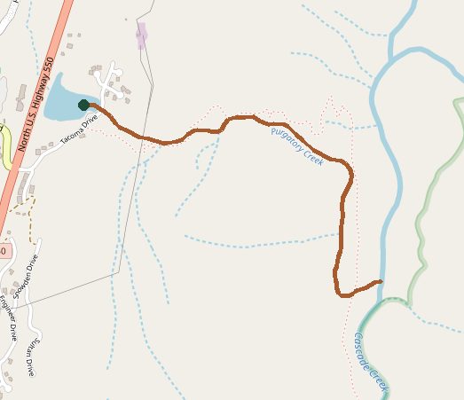 Purgatory Trail SystemPurgatory Trail SystemTrails at Purgatory Resort, including the 1.5-mile Divinity flow trail. The system page covers more than that one descent.15 miles · About 1,090 feet of climbing
Trails at Purgatory Resort, including the 1.5-mile Divinity flow trail. The system page covers more than that one descent.
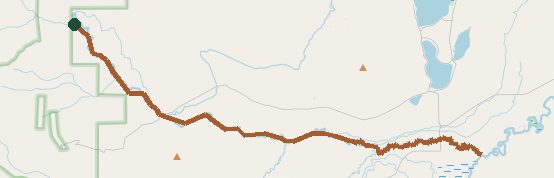 Roaring Fork TrailRoaring Fork TrailAn out-and-back into the Hermosa Creek wilderness. Durango Trails lists 8.4 miles one way, which is the 16.8-mile round trip in the hike description.8.4 miles one way (16.8 out and back) · 2834 ft
An out-and-back into the Hermosa Creek wilderness. Durango Trails lists 8.4 miles one way, which is the 16.8-mile round trip in the hike description.
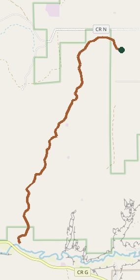 Sand Canyon Trail SystemSand Canyon Trail SystemCanyons of the Ancients, near Cortez. Pueblo sites along a desert trail system, not a Durango city hike.19 miles · 656 ft
Canyons of the Ancients, near Cortez. Pueblo sites along a desert trail system, not a Durango city hike.
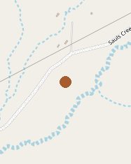 Saul's Creek Trail SystemSaul's Creek Trail SystemA smaller forest system about 3 miles east of Bayfield.4 miles · 330 ft
A smaller forest system about 3 miles east of Bayfield.
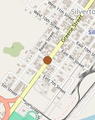 Silverton Area TrailsSilverton Area TrailsDay hikes around Silverton, including Kendall Mountain, Kendall Peak, and Stony Peak. There isn't one distance for the whole area.No single distance for the whole area · Elevation gain isn't listed
Day hikes around Silverton, including Kendall Mountain, Kendall Peak, and Stony Peak. There isn't one distance for the whole area.
 Smelter Mountain TrailSmelter Mountain TrailA short, steep climb on the south side of town. About a mile from the parking area to the view, gaining about 1,000 feet.1.1 miles · 1000 ft
A short, steep climb on the south side of town. About a mile from the parking area to the view, gaining about 1,000 feet.
 Telluride Area TrailsTelluride Area TrailsA pointer to Telluride's trails, a little over two hours from Durango, not a single Durango trailhead.About 34 miles across the five trails that list a distance · Climbs run from about 140 to 2,900 feet
A pointer to Telluride's trails, a little over two hours from Durango, not a single Durango trailhead.
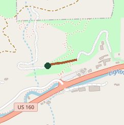 Twin Buttes Trail SystemTwin Buttes Trail SystemA multi-use system just west of downtown. Popular with bikes, and open to hiking.12 miles · 700 ft
A multi-use system just west of downtown. Popular with bikes, and open to hiking.
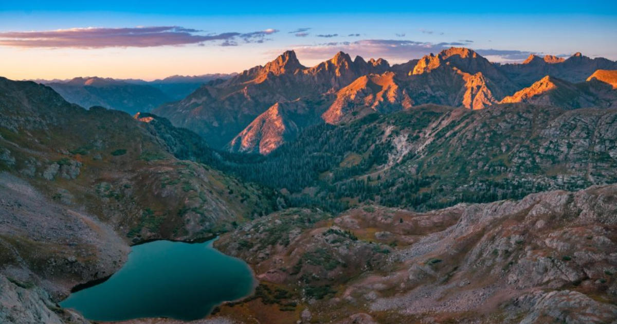 USFS RoadsUSFS RoadsNot a trail. Durango Trails uses this page for seasonal closures of San Juan National Forest roads, for wildlife and to protect the road surface.No single distance for the whole area · Elevation gain isn't listed
Not a trail. Durango Trails uses this page for seasonal closures of San Juan National Forest roads, for wildlife and to protect the road surface.
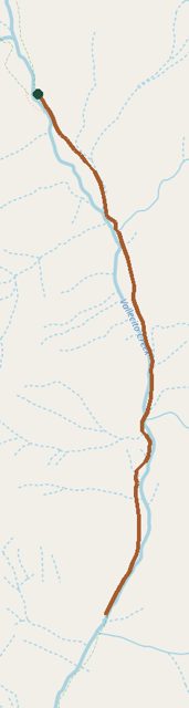 Vallecito Lake Trail SystemVallecito Lake Trail SystemYear-round trails around Vallecito Lake, about 40 minutes from Durango. The page is a whole system, not one loop.75 miles · 3000 ft
Year-round trails around Vallecito Lake, about 40 minutes from Durango. The page is a whole system, not one loop.